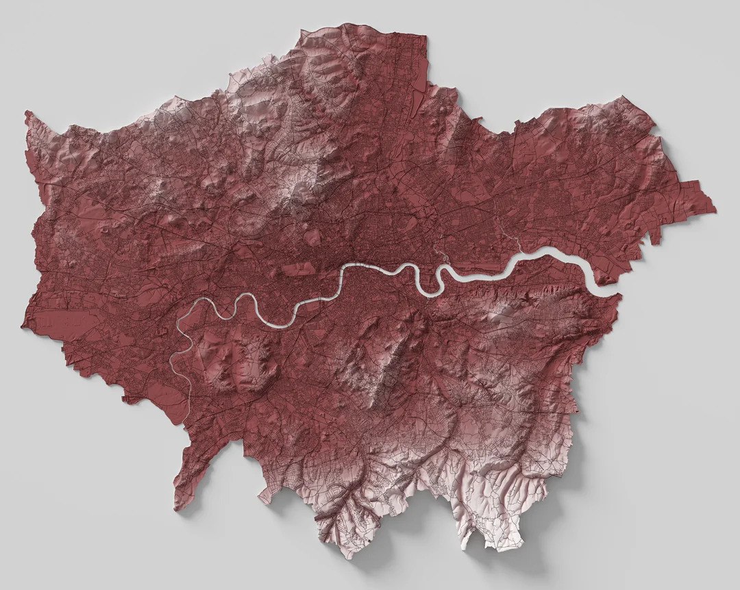
Geospatial
Geospatial services connect data with location to reveal patterns, trends, and opportunities that might otherwise go unseen. By transforming complex information into clear visuals and insights, these services empower communities, businesses, and governments to plan more effectively, respond more quickly, and achieve more sustainable outcomes. High-precision geospatial data also supports large-scale urban planning and infrastructure projects, enabling smarter cities and efficient utilities management. Additionally, businesses benefit from optimised operations, improved asset management, and enhanced service delivery through customised geospatial solutions.
Service Offering
Domain Expertise
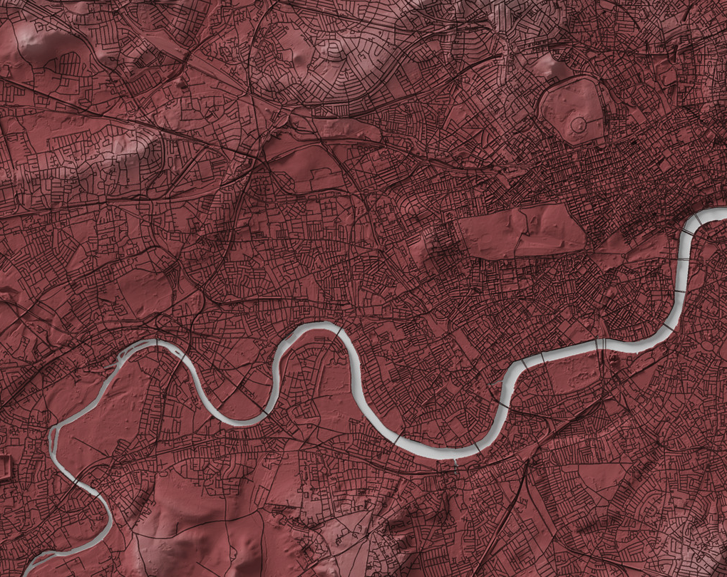
Geospatial Mapping Solutions
We specialize in delivering precise geospatial mapping solutions that transform complex spatial data into actionable intelligence. By leveraging advanced technologies such as satellite imagery, aerial photography, LiDAR, and field survey inputs, our mapping services cater to governments, infrastructure planners, and private organizations worldwide. Our comprehensive range of services includes: